Some final reflections:
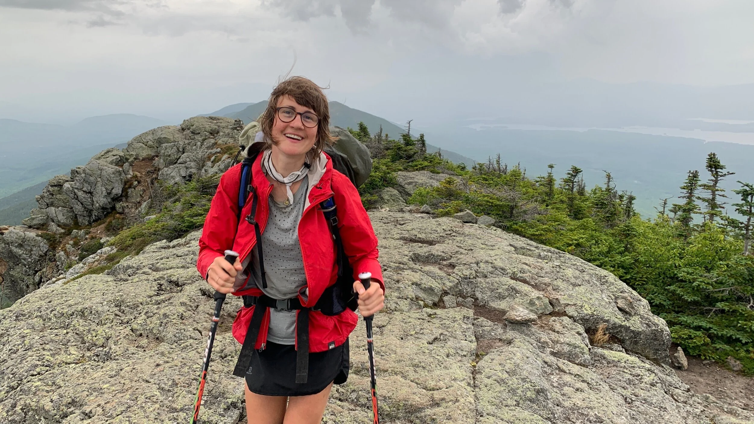
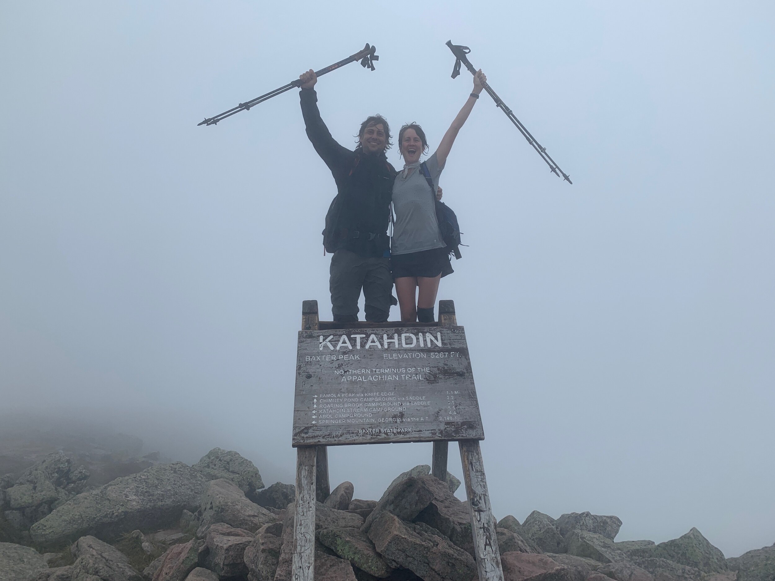
We summitted Katahdin at 10am on Wednesday, August 11th, concluding our 2021 NoBo Appalachian Trail thruhike. We have been thruhiking from Springer Mountain, Georgia to Mount Katahdin, Maine, since February, 24th. These past five and a half months on trail have held the adventure of a lifetime.
We hiked 2,193.1 miles on the AT (and an unknown quantity of additional miles walking to and from shelters, campsites, privies, hostels or stores)! We accumulated over 464,464 ft in elevation gain and loss, which is the equivalent of climbing Mount Everest 16 times. We each had only one embedded tick and I only sh*t my pants once. Ranger bonked his head too many times to count. Our highest mileage day was 26.4 miles.
In nearly half a year of living on trail we were sure to experience a full range of human emotion—the highs and the lows. Regardless, we genuinely loved every day on trail, and despite the challenges I can honestly say we never once considered quitting. I always felt I was where I was supposed to be.
Words cannot express how grateful we are to everyone who encouraged and supported us: our families and friends back home, the trail angels and trail maintainers, and the tramilies we formed along the way. It is impossible to convey just how deeply this Appalachian Trail thruhike has touched each of our lives and consciousness. I am forever changed.
- Sticks
It were as well to be educated in the shadow of a mountain as in more classic shade. Some will remember, no doubt, not only that they went to college, but that they went to the mountain.
- Henry David Thoreau
Day 165: 19 miles hiked (trail mile 2149.1)
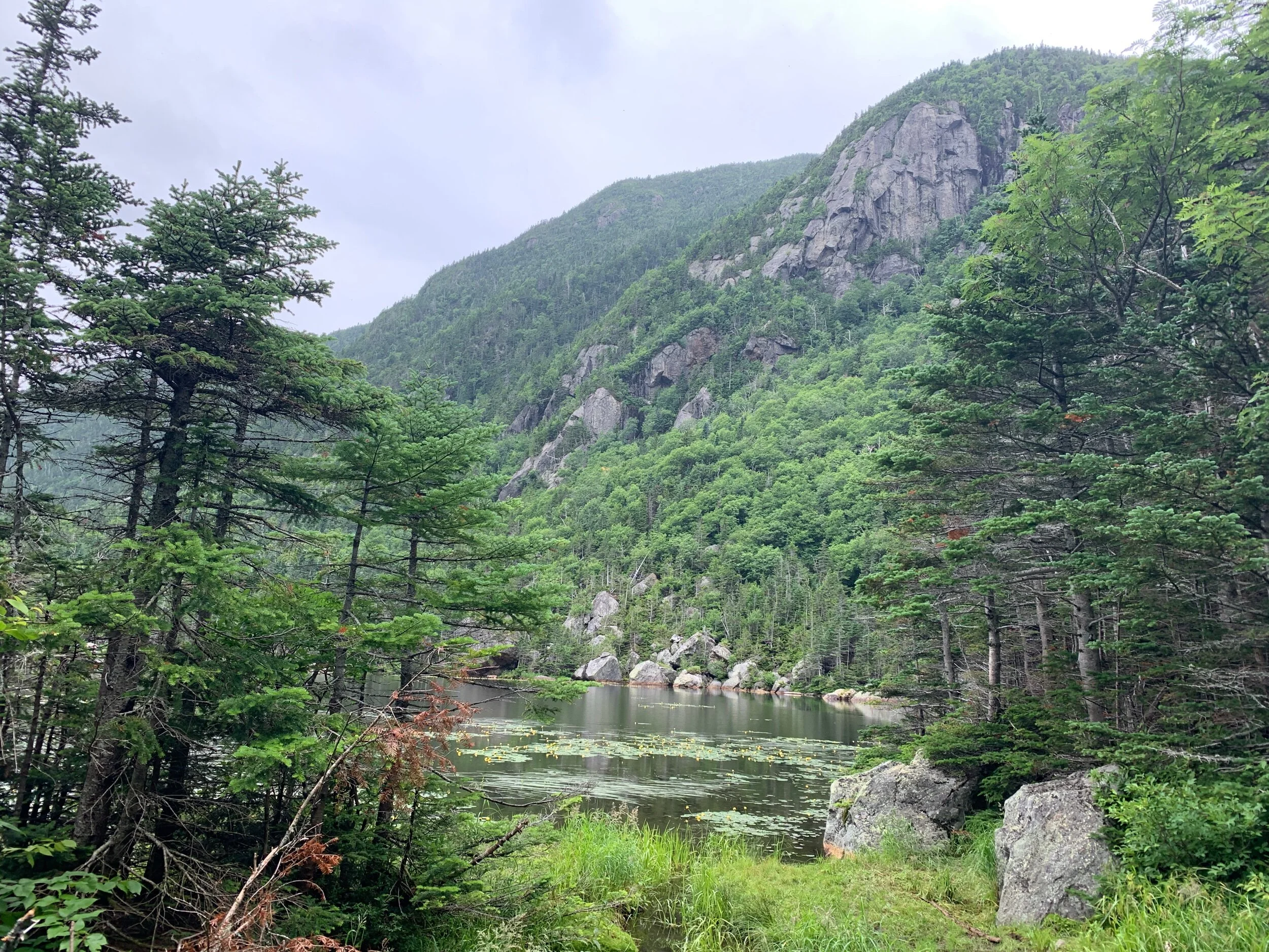
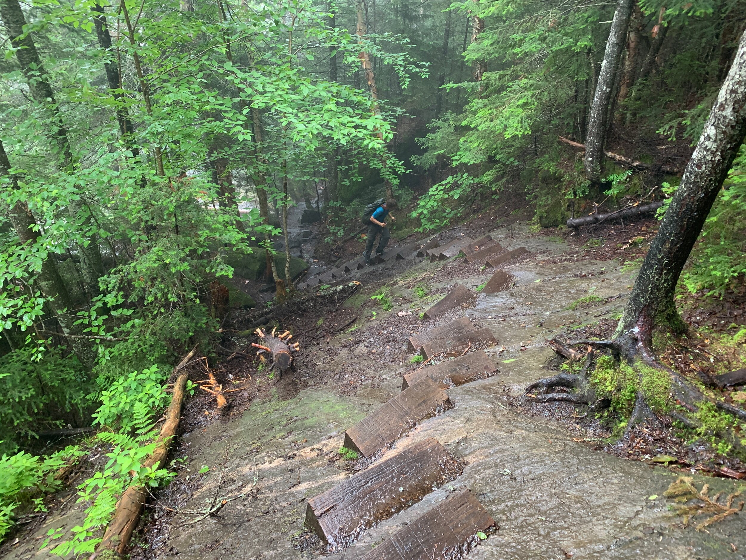
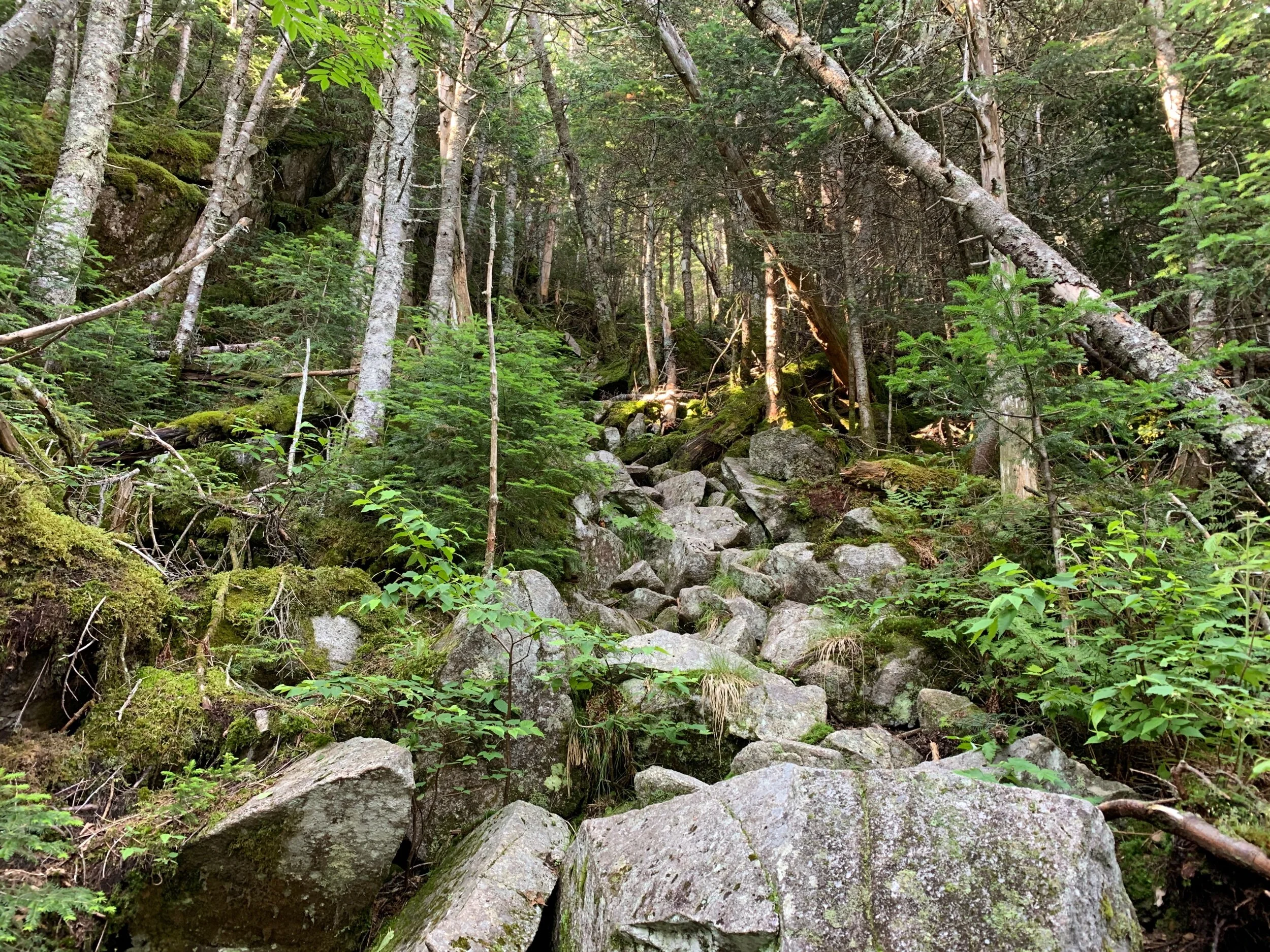
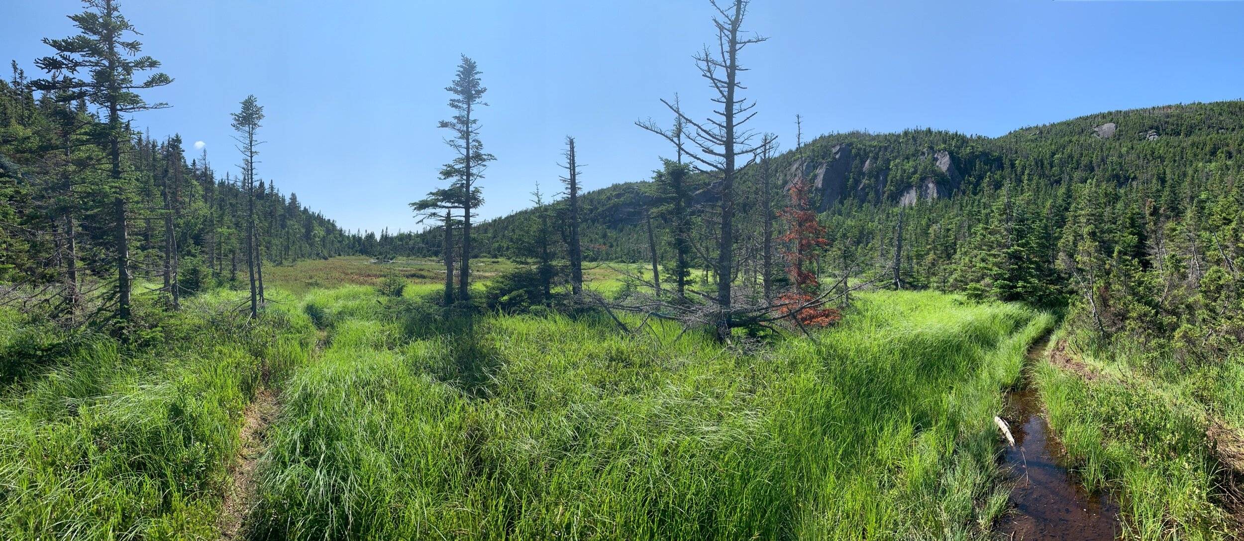
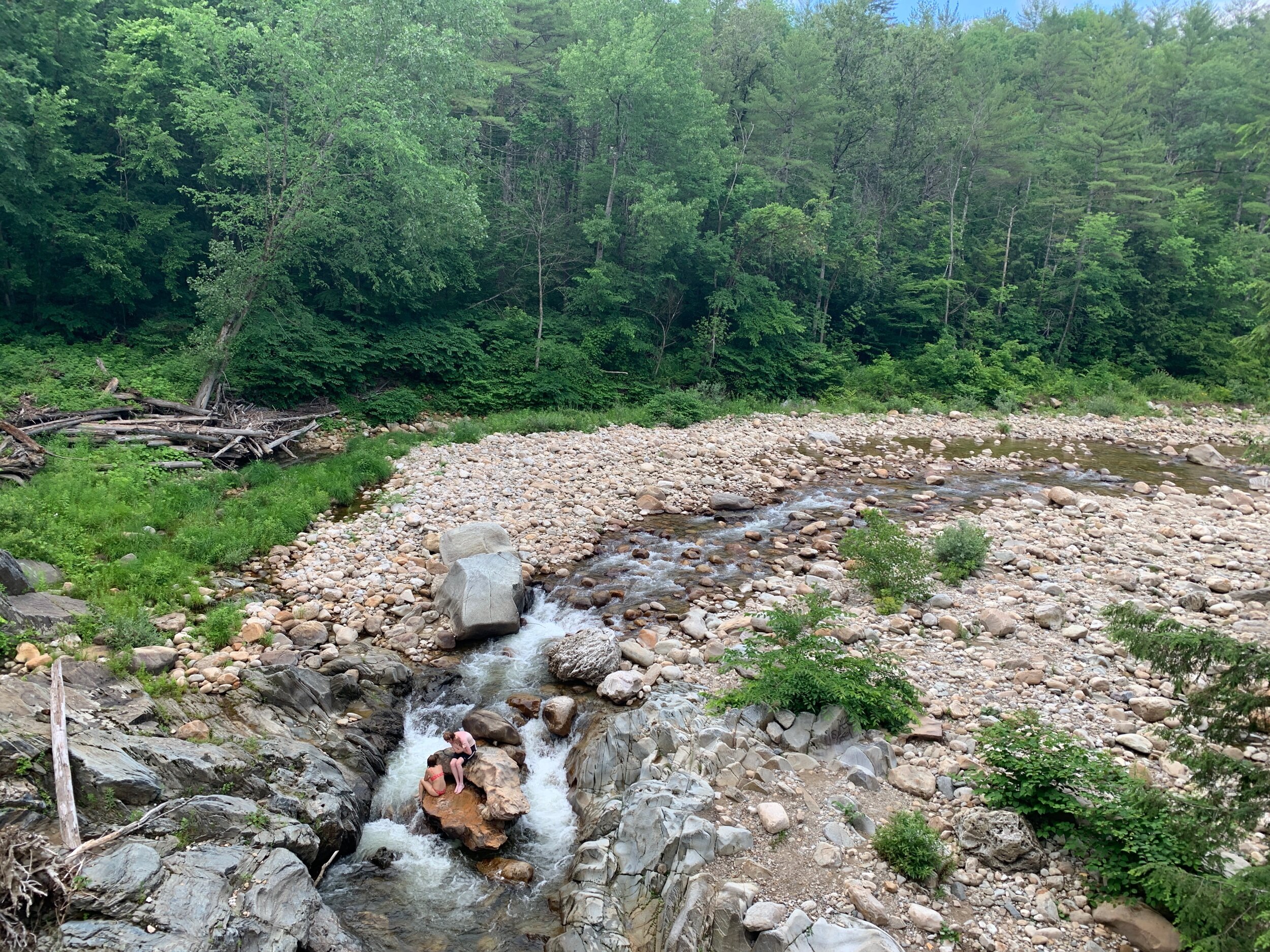
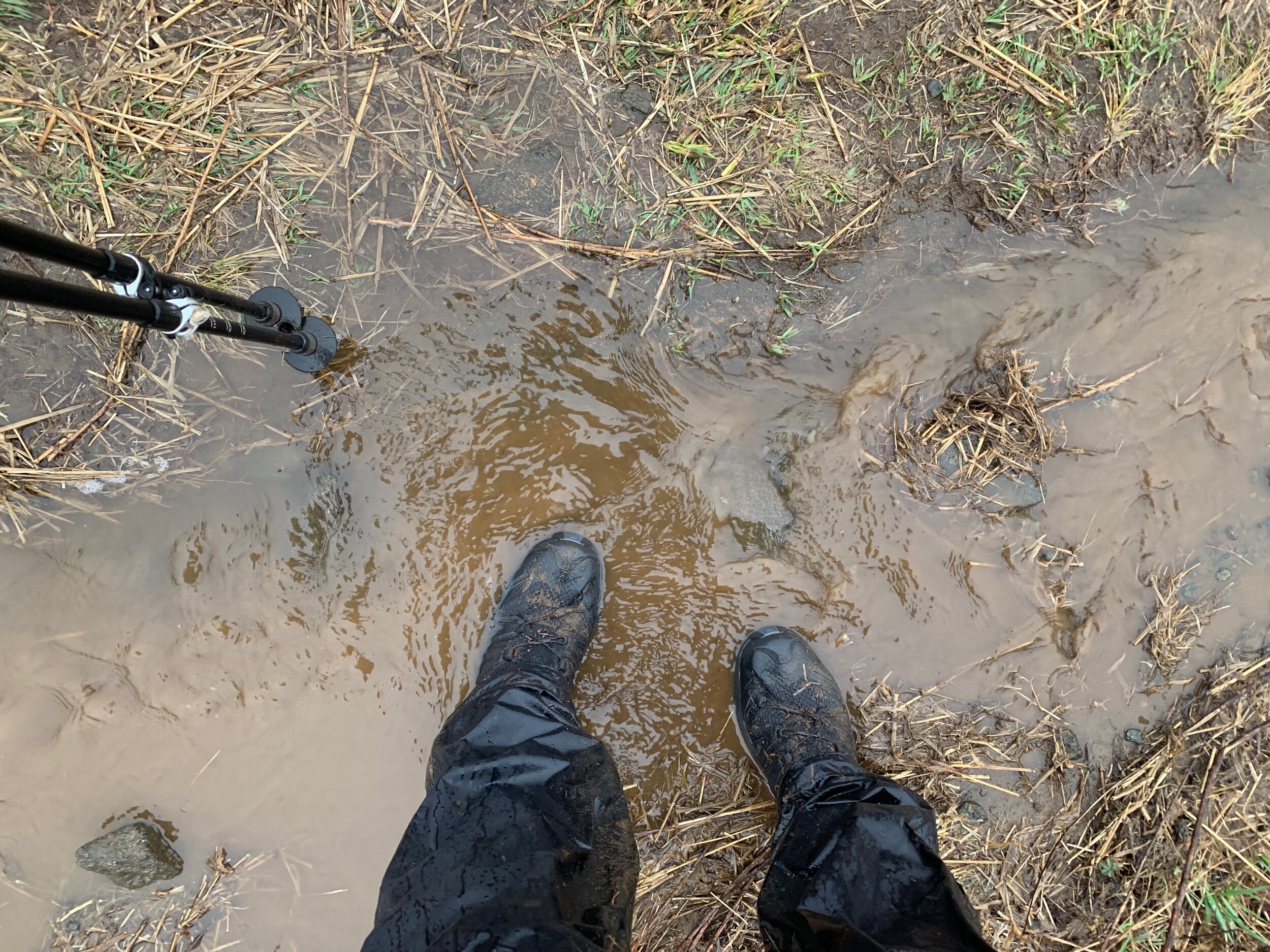
We set foot on trail at 7am having hardly slept a wink because the loons were so rowdy last night. They make such a beautiful call that I hardly minded, though. The trail today felt like a reward for hiking over two separate mountain ranges in the last two days. It was buttery smooth and flat with water sources everywhere so we felt like we were flying.

Swimming hole right in front of Cooper Brook Falls Lean-To
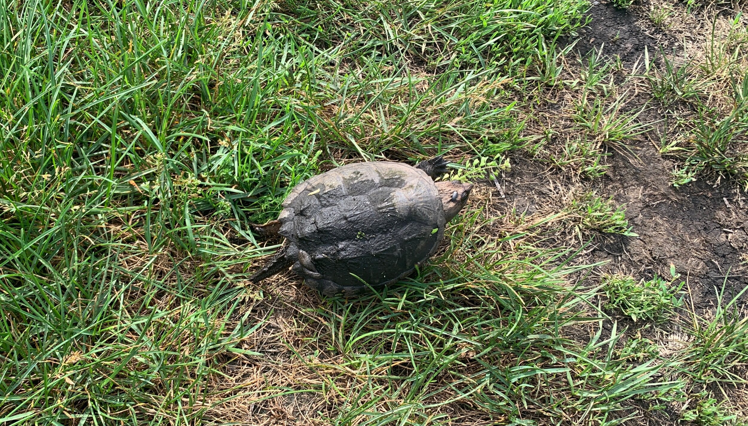
As I was coming around a bend in the trail I heard a crashing through the woods and spotted the silhouette of a huge female moose bounding away! We also spotted a turtle and a couple large frogs on a water crossing.


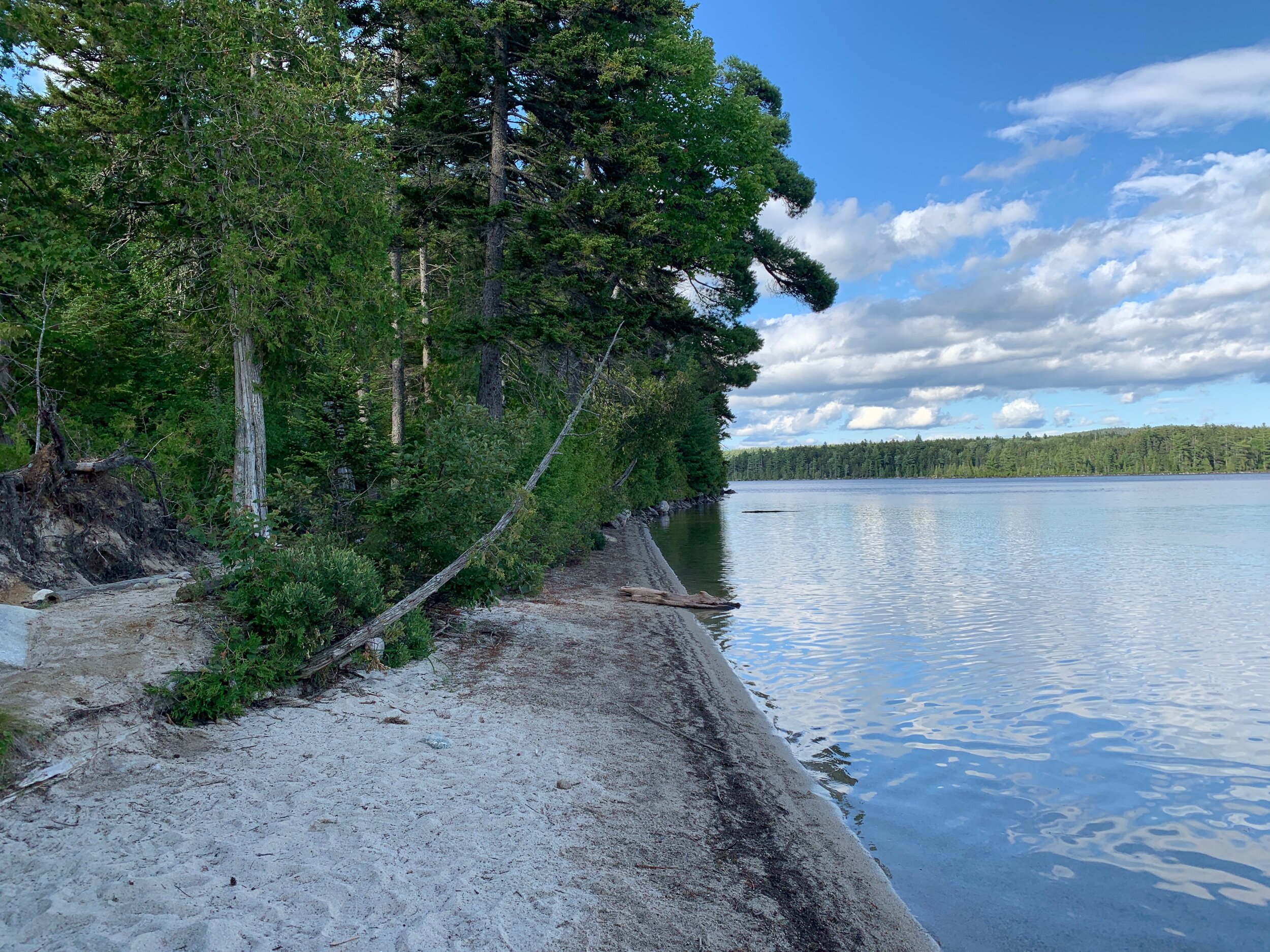
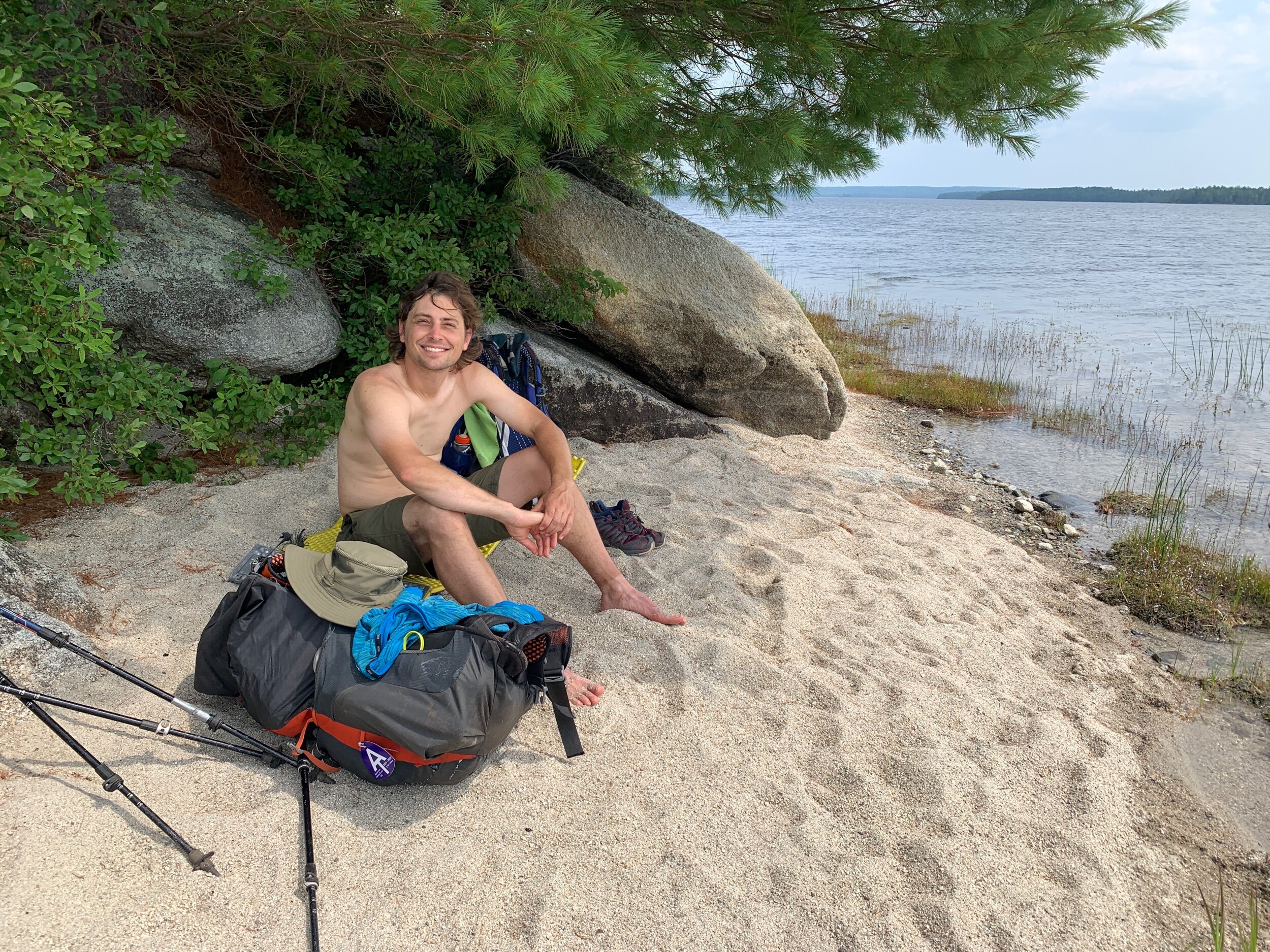
For lunch we stopped at Antler’s Campsite, on another pond, and talked to a thruhiker that we had met back at Shaw’s. It was starting to get hot, so less than two miles north of our lunch spot we went for a swim in Lower Jo-Mary Lake on a big sandy beach.

When we first stepped onto the beach, we caught our closest glimpse of a loon before it dove below water. The lake water was cold, but especially where the sand bar suddenly dropped off into deeper water. Just as we were packing up to go, Bess and Jazz showed up and blew up some inflatable floaties they had carried with them! I’m always so impressed by the joyfulness that these two create each day on the trail.

After the lake, we stopped at a water source that had absolutely rave reviews on Guthooks. People called it the ‘Fountain of Youth’ and the ‘Best Water of the AT’ so we made a point to let ourselves get a bit thirsty before getting there to achieve maximum pleasure. The spring at Potaywadjo Spring Shelter fully lived up to the hype. A split log led out into the center of the source where cold and clear water gently bubbled up through smooth gravel. We ceremoniously chugged about a litre apiece and then filled up a half litre each to get us to Namahkanta Shelter for the night. Generally, we have been carrying little to no water through the 100 Mile Wilderness because the water is so plentiful, instead choosing to camel up at each water source.


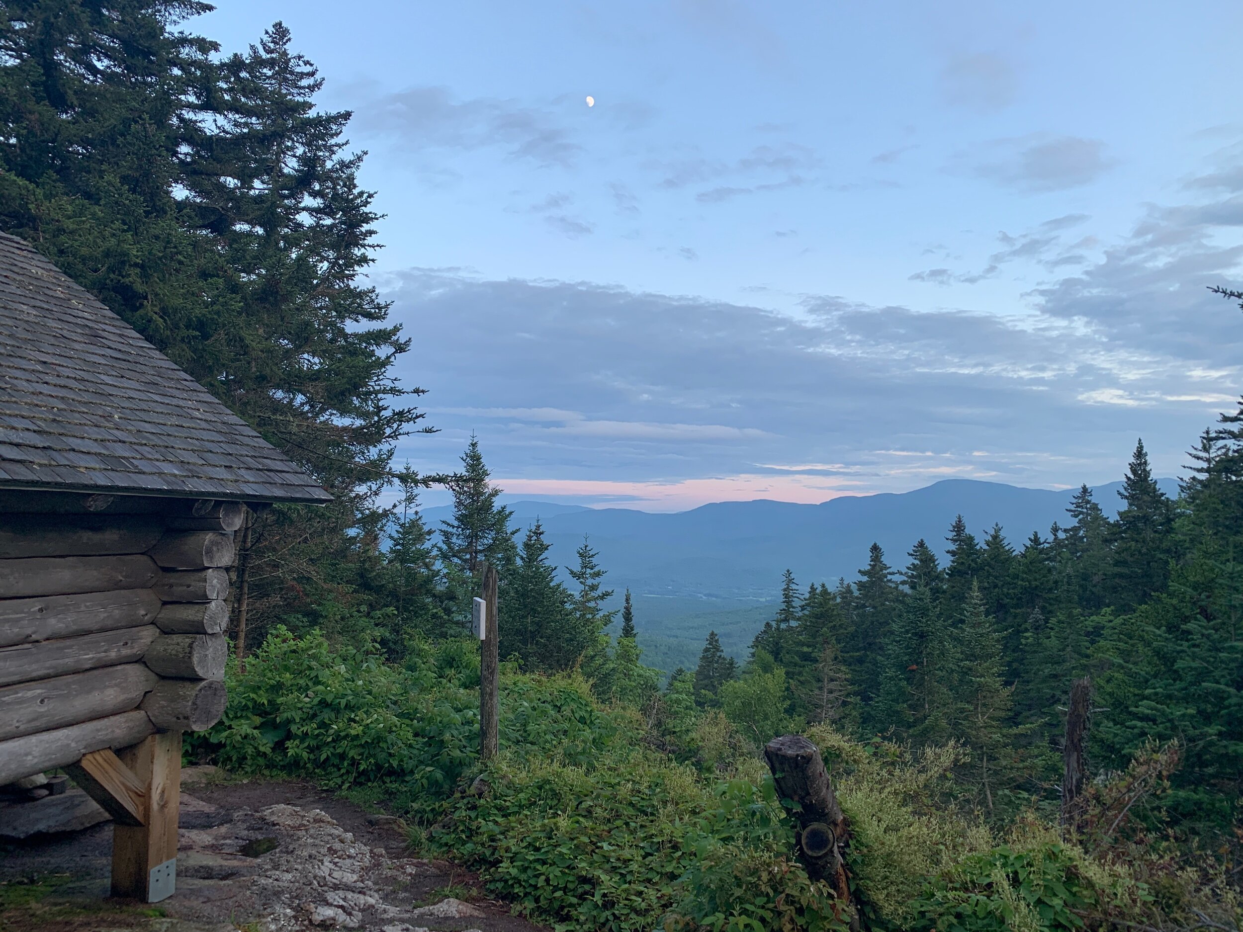
At Namahkanta we set up our tent at a flat site near the shelter and hung the bear line. Just as I started to cook dinner a surprise thunder storm arrived. We sat beneath the shelter with the others and ate dinner while the storm roared outside. One by one, hikers who had been caught in the storm came rushing into the shelter, dripping wet. The shelter was packed (and we later learned from sleep-deprived friends that the shelter had a couple chainsaw-snorers) so we were thrilled we had opted to tent. We both agree this has been one of our favorite days on trail.

Day 166: 17.5 miles hiked (trail mile 2166.6)
We departed camp at 7am. There were lots of roots and rocks today but nothing can bring down our high. Like Jpeg said, “We’re running out the clock now… running out the clock!”
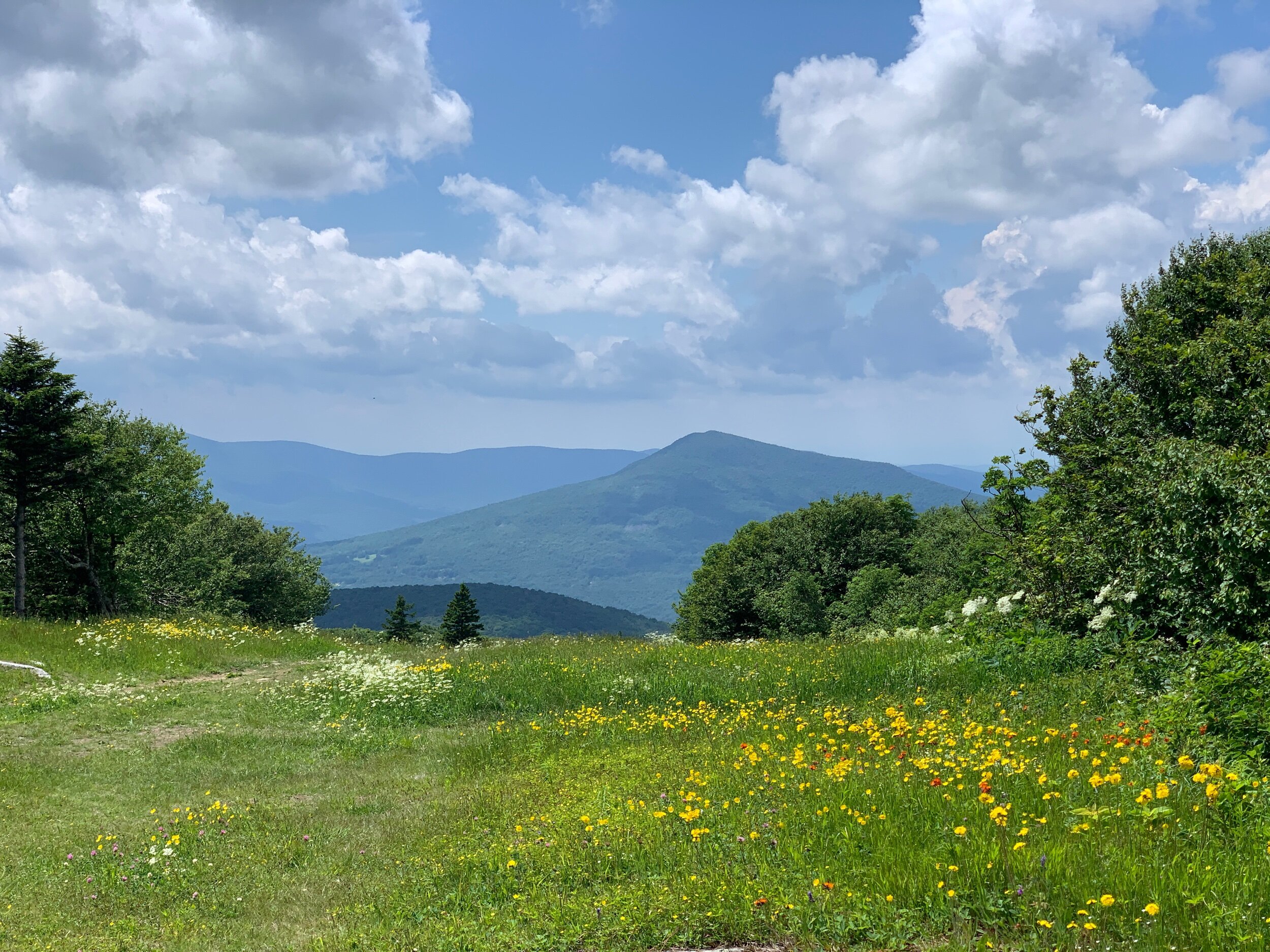
At one point we passed a sign stating, “view of Katahdin”. When we processed this, we looked at each other and, without speaking, made a u-turn to take the little side path. At first, straight across the pond you could see a little mountain… is that it? We looked to our left, and there it was, a giant mountain towering in the distance. What an incredible feeling it was to catch our first glimpse of the mountain we’ve walked over 2,000 miles to reach!

First view of Katahdin!

We hiked to the top of Nesuntabunt where we had cell service for the first time since White Cap. Ranger called his mom from the top to wish her a happy birthday.

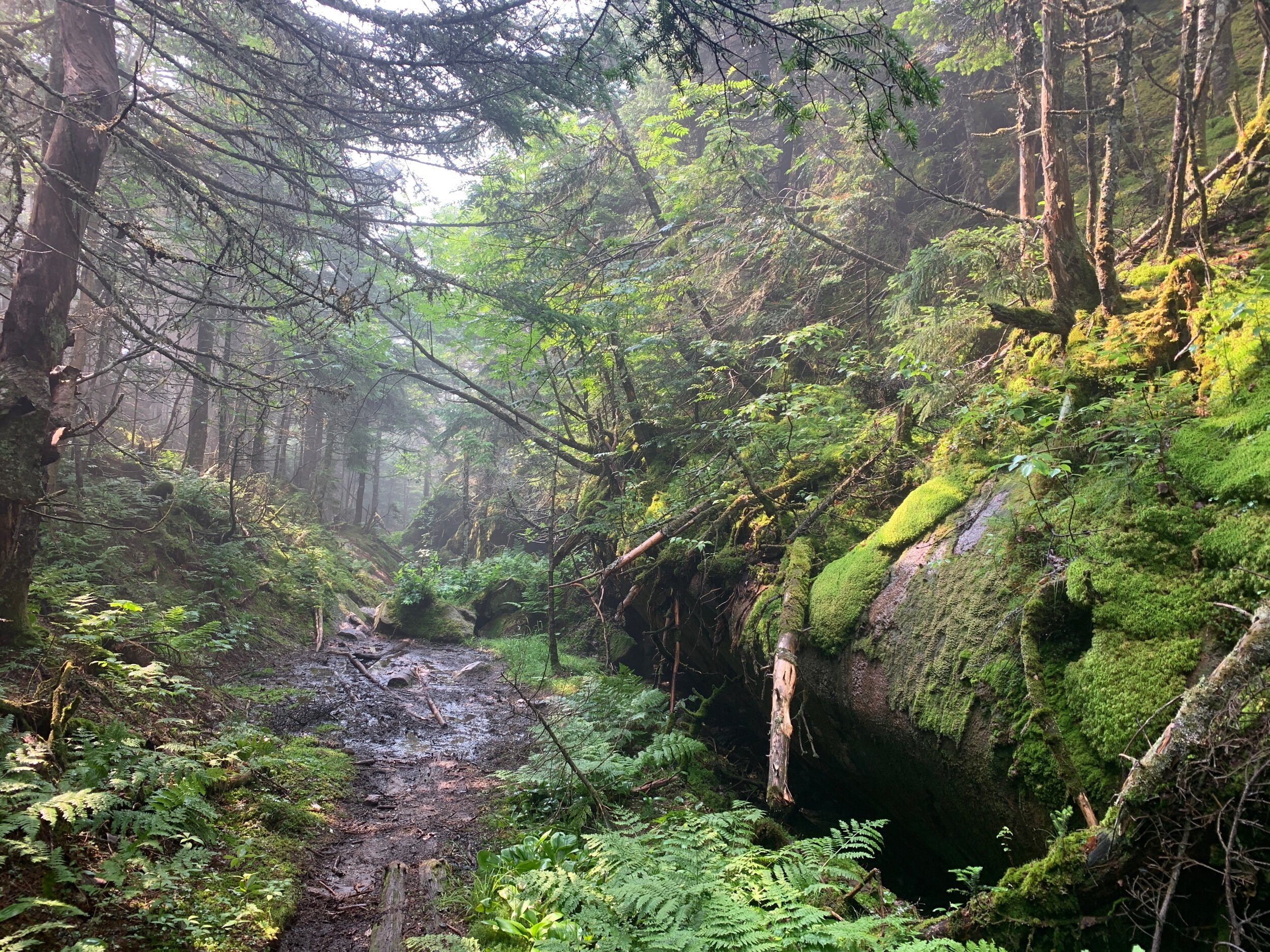
We hiked past Rainbow Stream Cascades, a beautiful stream with deep swimming holes and fast flowing water. It was tempting to brave the icy cold water for a swim but our desire to make it to camp won out and we pressed on, stopping for the night at Rainbow Spring Campsite.


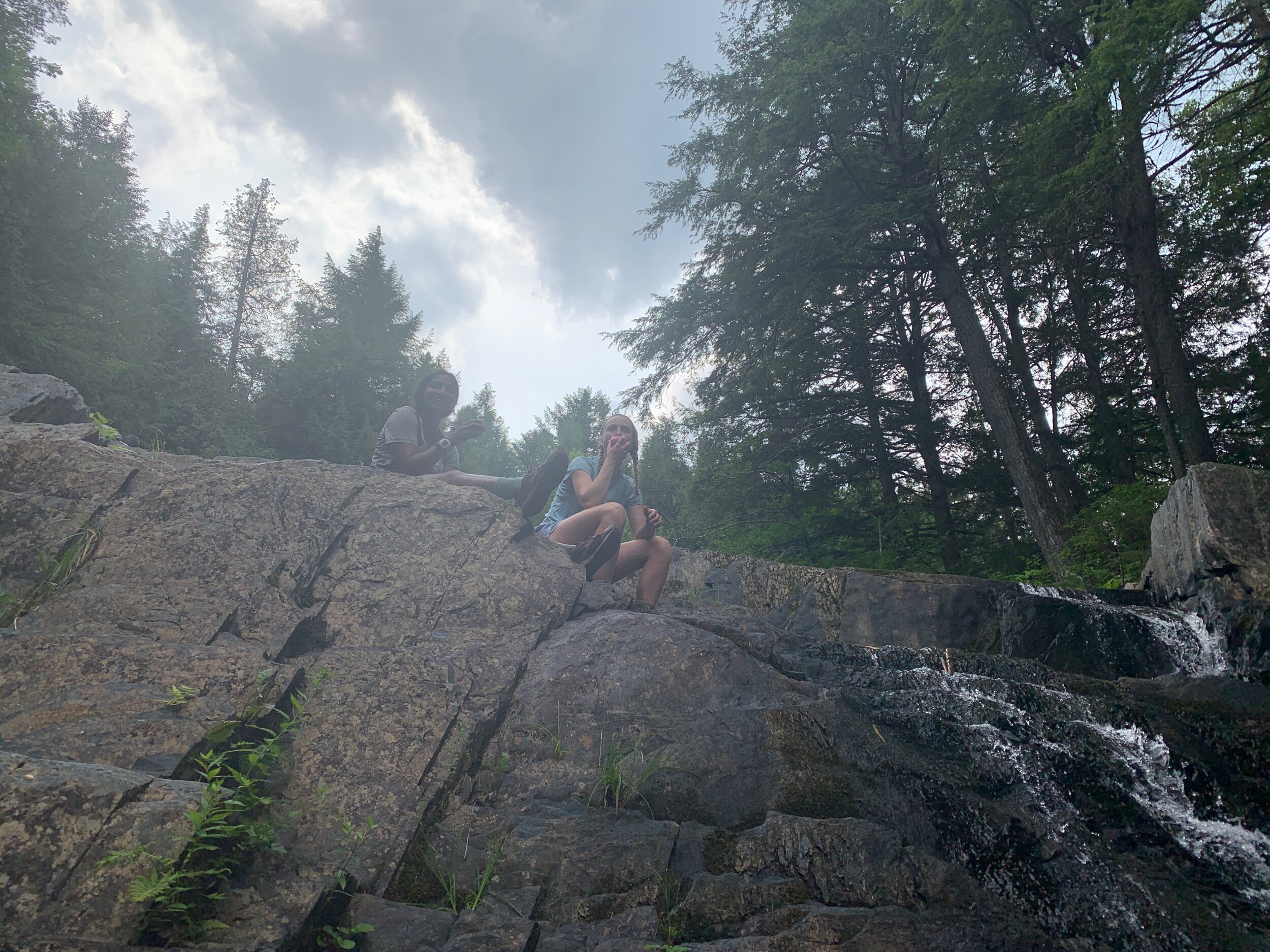
The campsite had a nice spring and a rock to sit on the water. From the rock we spotted a bunch of big leeches, expanding and contracting as they moved along the floor of the lake. Jazz and Bess had their feet dipped in the water when the leech discovery was made and immediately yanked their feet out of the water to peer at the leeches below.

Bess and Jazz, and leeches
We shared the site with Jazz and Bess who—due to the lumpy terrain—had to set up so close to our tent that it felt a bit like we were in a shelter! It was an appropriate way to end our last real night on the trail as we knew it (everything after this will be in Abol Bridge or Baxter Park).
Today was our last full day on trail with a respectable 17.5-mile day and we are happy to be camped by a lake with these friends who we serendipitously shared the 100 Mile Wilderness experience with. Tomorrow we will wake up at 4am to fulfill another trail goal: a 10x10! 10 miles before 10am.

Day 167: 11.5 miles hiked (trail mile 2178.1)
By 4:45am we were on trail with our headlamps on. Being first on trail this morning we were hoping to see a moose but had no such luck, despite passing a few different ponds. We both really enjoy the sensation of being already moving on trail when the first light arrives. It’s such a great way to start the day.

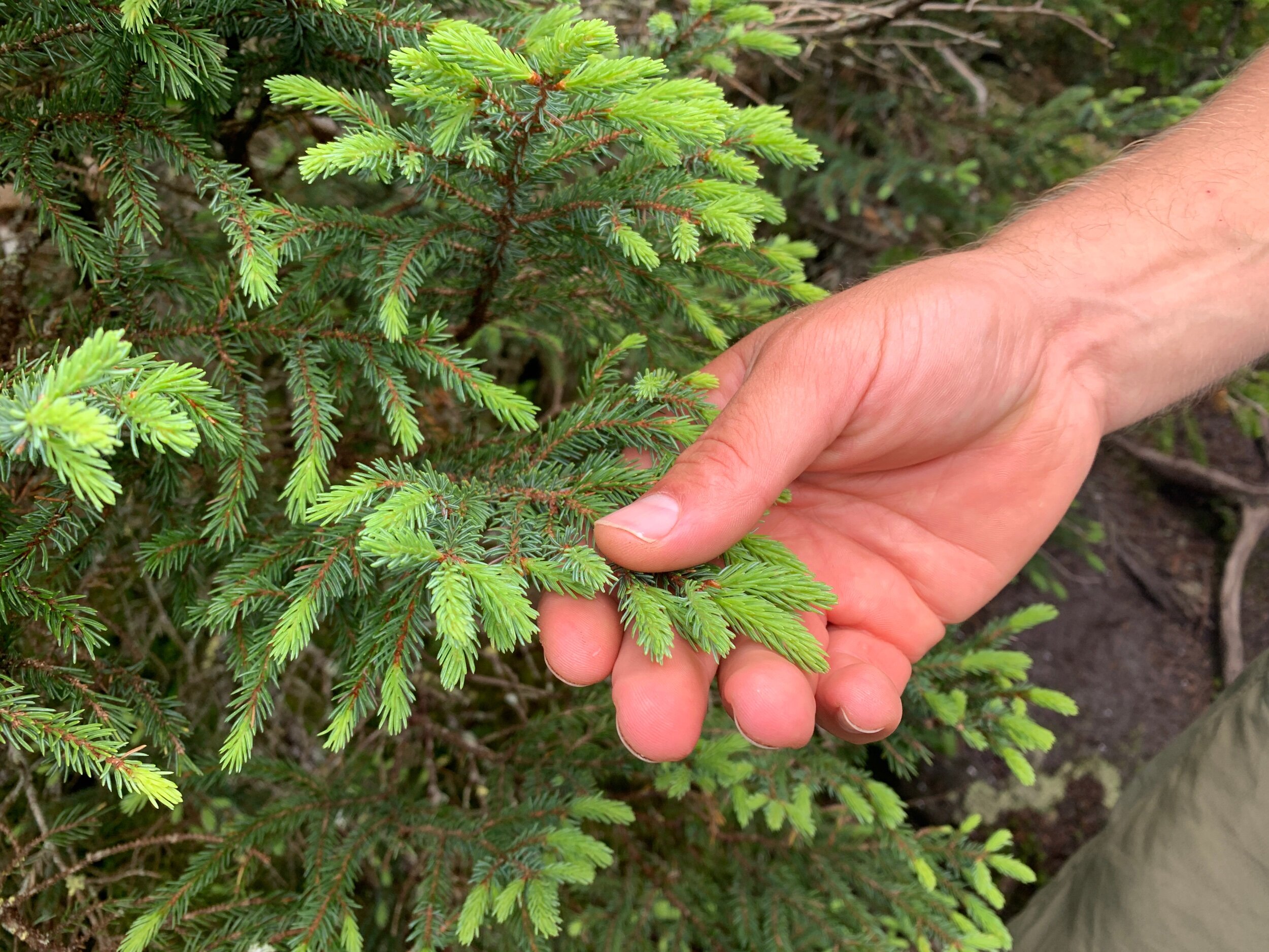
We stopped on the Rainbow Ledges to pick blueberries that we plan to leave as an offering on the top of Katahdin. Here we also braked for breakfast and enjoyed our last Larry and Lenny’s cookies of the AT. Soon, gone will be the glory days of cookies for breakfast. We had just enough cell service here to check the forecast for Katahdin. Weather was supposed to be perfect the day before our summit day and looked potentially icky on our planned summit day, so we will keep our eye on things and if we must push, and summit the day before, we will.

We had no problem completing our 10x10 and arrived at Abol Bridge at about 10:30. The bridge just before Abol Pines campground offered an excellent, unobstructed view of Katahdin although the top of the mountain was cut off by dense clouds.

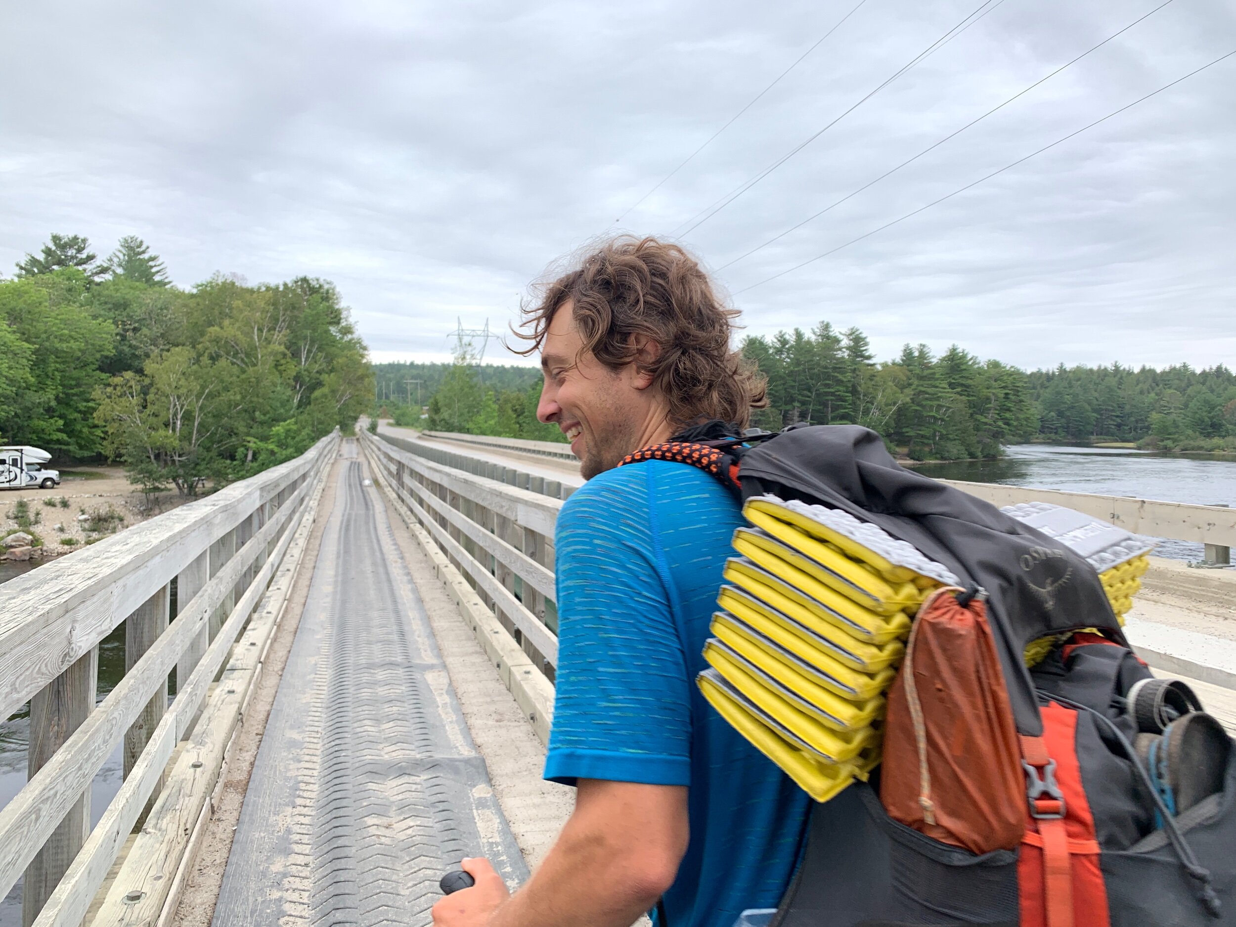
Back to civilization (sans cell service)
Outside the convenient store we spoke with Olive Oil, a thruhiker flip-flopper who had completed her masters in Edinburgh, just south of where I’ll be in Dundee, Scotland, for my Medical Illustration MSc. It was fun meeting another thruhiker who did grad school abroad, and she was a joy to talk to. She had absorbed a wealth of knowledge about Baxter State Park, and the dizzying regulations around summitting Katahdin. In hindsight it’s honestly not so bad, but it’s quite a bit to process when you’re used to just taking things at your own pace and answering to no authority.
We scarfed down some chips, pop tarts, and crackers outside the store, and then went back in for a resupply for the next two days. The store offered nothing but junk food, so these next couple days will be some of our worst nutrition on trail. Running out the clock…
After resupplying, we hiked just under a mile (.7 to be exact) to the sign-up sheet for the Birches campsites in Baxter State park just to see how it works. We felt if there were any slots left for today we had a moral obligation to take them, knowing how many people are coming in behind us today. There weren’t any slots left but we saw that Dallas, Lighthouse, and Bug had secured spots at the Birches tonight, meaning they will be summitting tomorrow!
Back at Abol Pines State Park—confusingly directly across the street from, yet unaffiliated with, Abol Pines Campground—we set up our tent. Other thruhikers trickled in thoughout the afternoon since the park is much more reasonable than the campground which wants $27 a person just to tent! I took a nap in the tent while Ranger did coin laundry back across the street.

Bess and Jazz with foraged blueberries!
Just as I came over to get a shower, Meta and Grasshopper arrived. It’s Meta’s birthday today so I asked about the cost of wine and corkscrew, intending to return to get Meta a birthday treat for this evening. A few minutes later as I was standing outside talking with them, a patron came out of the store and handed us the wine and bottle opener, saying “Happy trails.” Incredible trail magic! Bess and Jazz also showed up with an entire gallon bag of blueberries they picked on top of Rainbow Ledges, which they presented to Meta as a contribution to her impending birthday feast.

Bess, Jazz, Meta, Grasshopper
It turned out Meta and Grasshopper had rented a “cabin” at the Abol Pines Campground which turned out to be packed with 6 creaky bunk beds. They offered their extra bunks to Ranger and Me, and Jazz and Bess. Bunks sounded preferable to tenting so we ran back across the street and broke down camp to join our friends for the night, thankful that we hadn’t already dropped our money in the pay box.

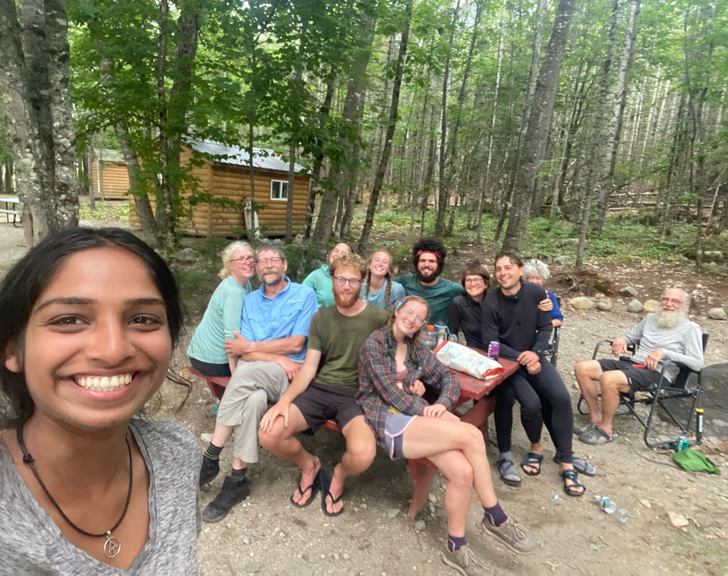
Front to back, left to right: Jazz, Meta, Grasshopper, Nate, Jasmine, Prime, Bess, Hiccup, Sticks, Ranger, Chaser, Jeff
Sitting with Meta and Grasshopper at the picnic table we had wine, chips and salsa, Ritz crackers, and Mike and Ike’s for dinner. Later we enjoyed showers in the park bathrooms, feeling a bit on-edge since there was a guy riding around in a golf cart that seemed hell-bent on checking that everyone had paid for their spot in the campground and weren’t crashing with friends (like us), but managed to avoid confrontation. Eventually, other friends joined us at the campground including Hiccup, Prime, Jazz, Bess, Jeff, Chaser, Jasmine, Nate, and Jpeg (who we hadn’t seen since Uncle Johnny’s in Virginia). It turned into a proper birthday party for Meta!

Prime, Bess, Hiccup, Jasmine

Jeff (ECT Hiker)
It turns out a few of these folks are now planning to summit tomorrow to take advantage of the better weather. We thought about it, but decided against a higher mileage day since hiking the AT into Baxter, summitting, and descending all in one day would be nearly 20 miles. Instead, we have decided to wake up super early on our summit day to beat any afternoon thunderstorms.

Meta, Jasmine, Nate, Jazz, Hiccup, Bess, Prime (& Katahdin)
Day 168: 9.7 miles hiked (trail mile 2187.8)
It’s safe to say we all slept terribly. The bunks would screech with every small movement, and between 6 of us in this small space it was an absolute cacophony, but it’s fine since we only have 9 miles to the Birches in Baxter State Park at the base of Katahdin. Running down the clock!
We left camp with Meta and Grasshopper at 5:30am and made it to the sign-up sheet by 5:45. Jpeg and Mose were already there. Mose had apparently been there since 3am to ensure his spot since there had been comments on Guthooks claiming that the sign-up sheet for the 12 coveted spots at the Birches campground has filled up completely by 4:30am before.

Ranger, Mose, Grasshopper, Meta, Jpeg
While we were waiting for the Ranger to show up, trying to evade the mosquitos that had laid siege upon us, the rest of our crew from yesterday came hiking by. Their plan was to go ahead and hike to the park and then summit, all in the same day! They are sure to have a beautiful summit today.

Prime, Bess, Hiccup, Jazz, Jasmine, Nate
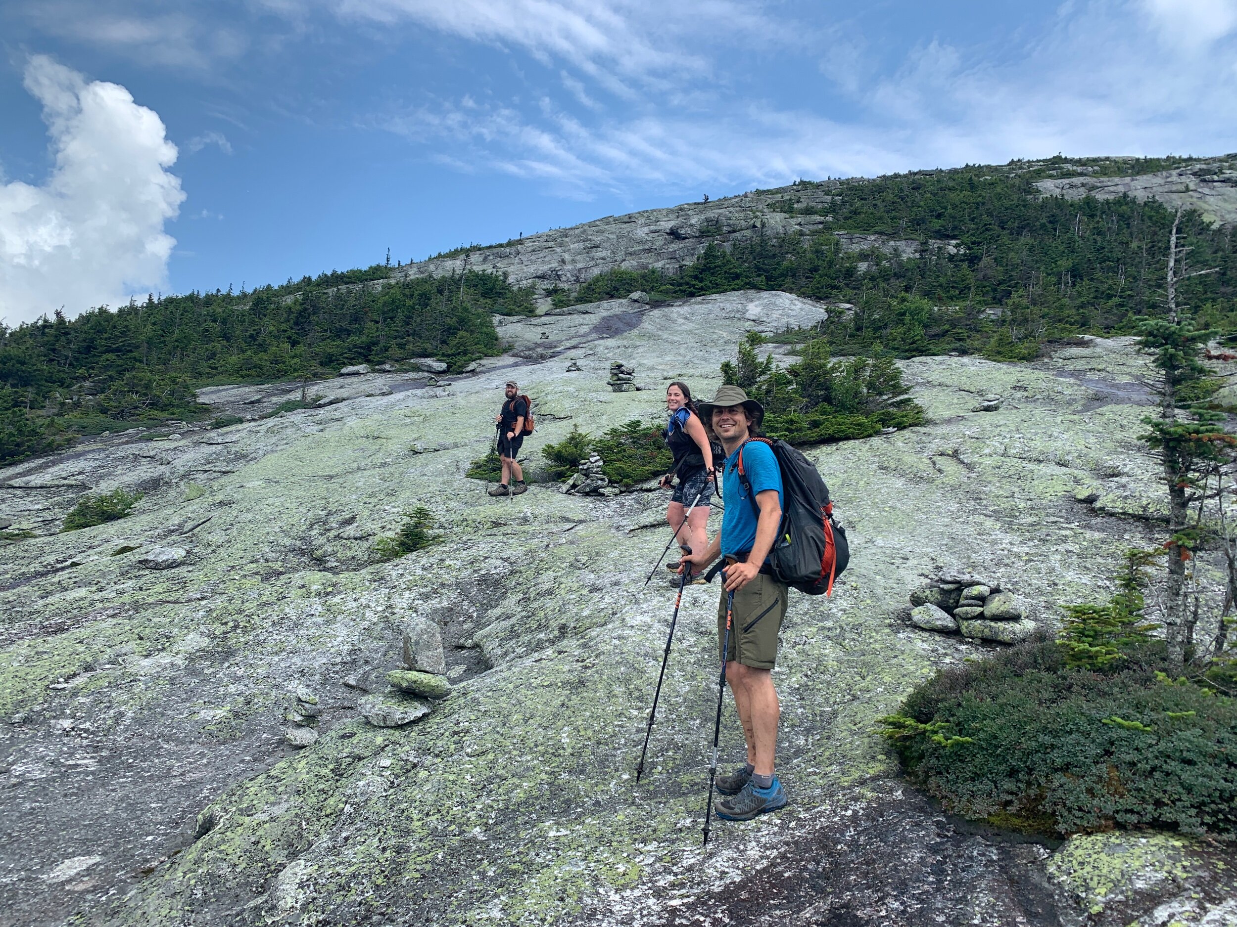
The Ranger showed up at 6:50 and posted the sign-up sheet. Once all the logistics were sorted, we took our time hiking the 9 miles to the Birches campground. We stopped for a long break with the whole thruhiking crew that would be with us at the Birches. Then we stopped briefly at a pretty cascading brook, followed by a nice long break at Big Niagara Falls. The AT is a nice gentle trail all the way to the Birches, the calm before the storm that is the 5-mile 4,000 ft climb we will be hiking up (and then back down) Katahdin tomorrow.

Jpeg got this great sneaky pic of me and Ranger
At a parking lot crossing, a Maine resident named Jim told us that a short walk up the road off trail would take us to a pretty lake with a view of Katahdin. It did not disappoint, and we decided to stop and have lunch in the Adirondack chairs beneath the covered patio of the park library. Across the lake was a magnificent view of the mountain. Jim shared Gatorade and stories with us awhile, and then we hiked on.


When we arrived at Katahdin Stream Campground to check into the Birches campsite we ran into Dallas, Lighthouse and Bug, who had just made it back from summitting! Lighthouse’s parents were there and gave us some trail magic.

Bug, Dallas, Lighthouse, Ranger, Sticks

View of the mountain from Katahdin Stream Campground
When the Ranger eventually showed up we went through yet another check-in process and received our official summitting cards, and paper slips that we have to deposit when we finish. Ranger is the 343rd NoBo thruhiker to finish this year and I am the 344th. Baxter State park has a reputation for having a “wilderness first, people second” mentality which is actually awesome, although it makes for a lot of logistical challenges for thruhikers, especially since there is no cell phone service from near the end of the 100-mile wilderness all the way up to the top of Katahdin. We also signed the summit logbook and saw many of our friends names in days prior!


We signed the summit logbook and saw many of our friends names in days prior!
The mother of a hiker named Beebop was set up doing trail magic with burgers, drinks and chips over in the pavilion area, in anticipating of her daughter’s arrival from summitting today. We ended up spending a few hours hanging out there eating veggie burgers while hikers who had summitted today trickled down from the mountain. Bug was waiting on her mom, too, and when she showed she came bearing more trail magic of fresh fruit and a carrot cake with the AT mileage written on top in the icing! Jpeg and I bonded over our $10 Casio watches – the perfect no-frills watch, and he sang the praises of his ultralight trail bidet.


At the Birches this evening there ended up being just the 7 of us from the sign-up sheet this morning, and only one other hiker showed up. Jpeg set upon methodically breaking and sorting sticks for a campfire, and we all gathered around the fire and shared lots of stories and laughs from the trail. The perfect way to spend our last night on the trail.

When we went to bed around 7pm we had an entire shelter to ourselves. With no prospect of other hikers showing up unannounced, we decided to pitch our tent in the shelter to provide protection from the hyper-aggressive mosquitos of Maine. Tomorrow morning, we will be leaving camp at 4:30am to summit Katahdin!

Rhino, Ranger, Hotwheels, Sticks, Mose, Jpeg, Meta, Grasshopper
Day 169: 5.3 miles hiked on the AT, ending at trail mile 2193.1
There is a lean-to outside the Ranger Station where thruhikers can leave any gear that is not required for the summit. We emptied items like our tent, quilt, kitchen and other equipment we wouldn’t need today into a couple of day packs and left them in the shelter. We started up the last few miles of the AT at 5am.
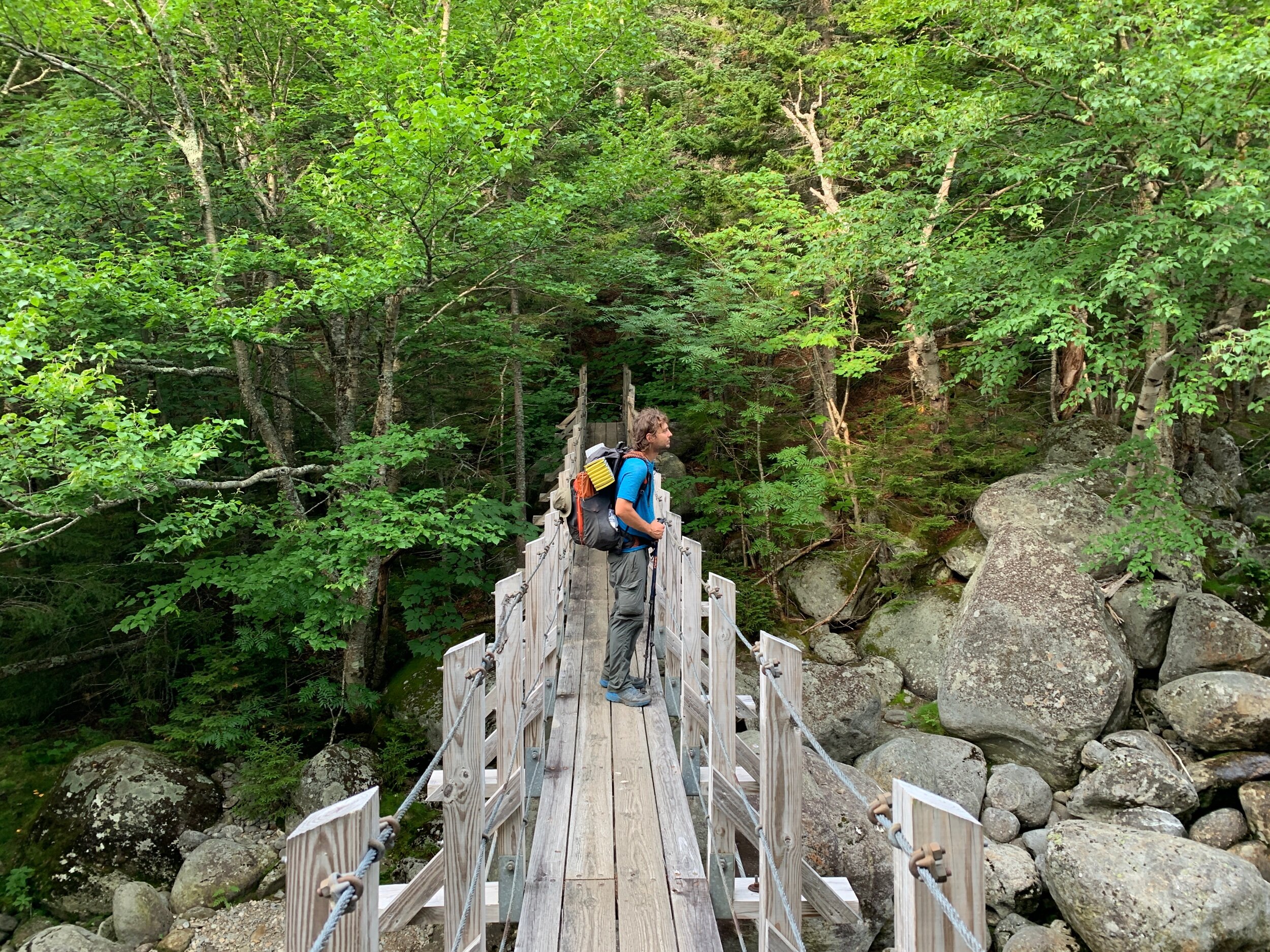
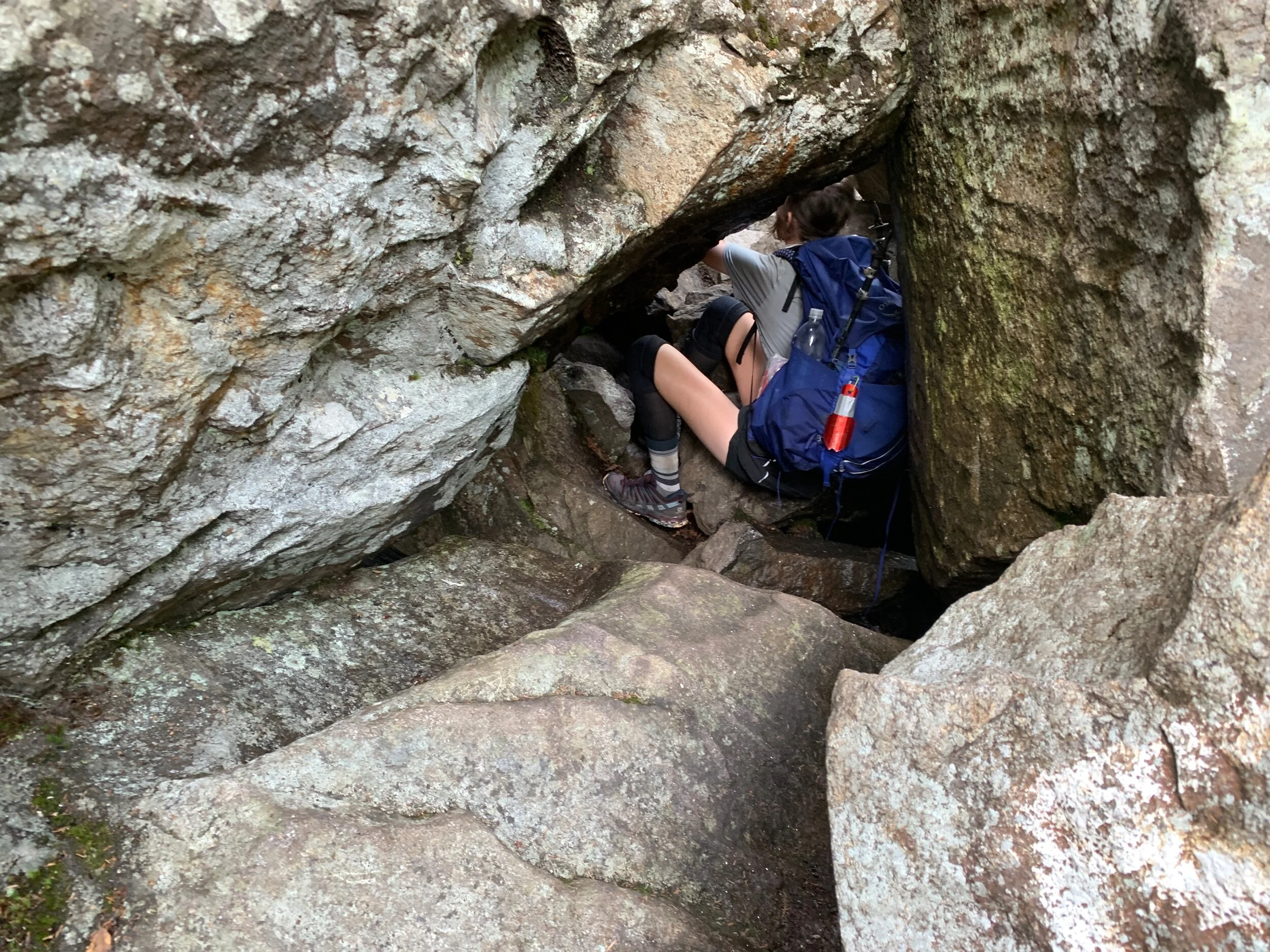
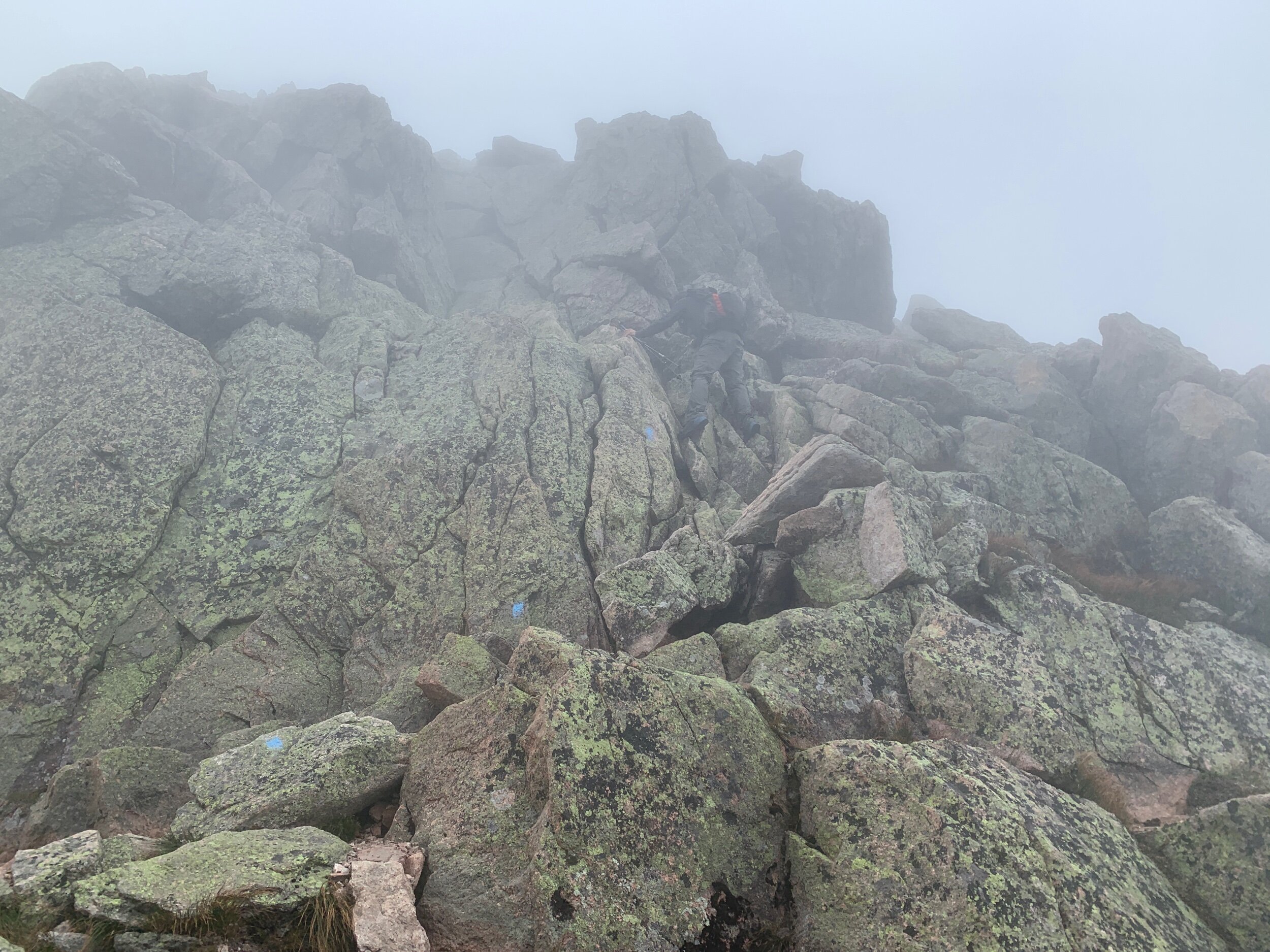
The climb started out at a gradually sloping grade, and we did two rounds of 92’s to cover some ground swiftly before it started to get challenging. Soon, the ascent became highly technical, with hand over hand climbing and the occasional rebar handle to assist.


There was a plaque honoring Thoreau at ‘Thoreau Spring’ – a puddle of dubious looking water. Thoreau climbed Katahdin in 1846 and wrote The Maine Woods.
After having hundreds (or even thousands) of miles ahead of us for most of the trail I was really rattled by the sign stating one mile to the summit and was met with an unexpected flood of tears. We are so sad it’s over, so happy it’s over, so proud and so grateful, so many emotions all at once. We laughed nervously when I verbalized that at least we’re close enough now that if one of us broke a bone we could still drag ourselves to the summit. So much of the trail is about just keeping yourself together physically but it is equally a mental game, and we are exhausted.

Thoreau Spring
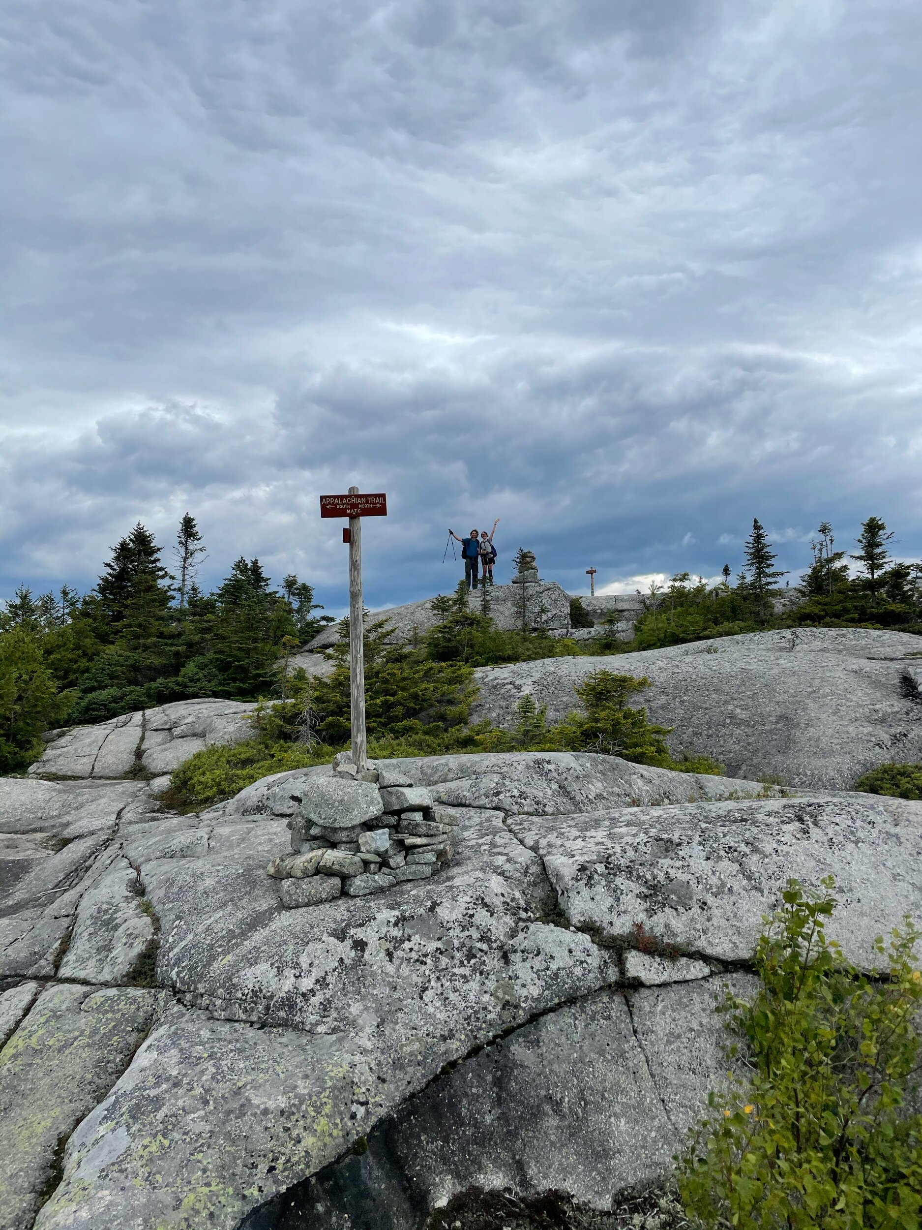
Taking plenty of breaks, the climb took us about five hours in total, and we reached the summit around 10am. Near the top we had passed Meta and Grasshopper, descending from their successful summit, and then on top we saw more friends from the Birches last night: Jpeg, Mose, and Rhino. We left our blueberry offering on the cairn at the very top of the mountain and then, collecting ourselves after what had been a highly emotional last mile of the trail, touched the Katahdin sign together on the count of three.

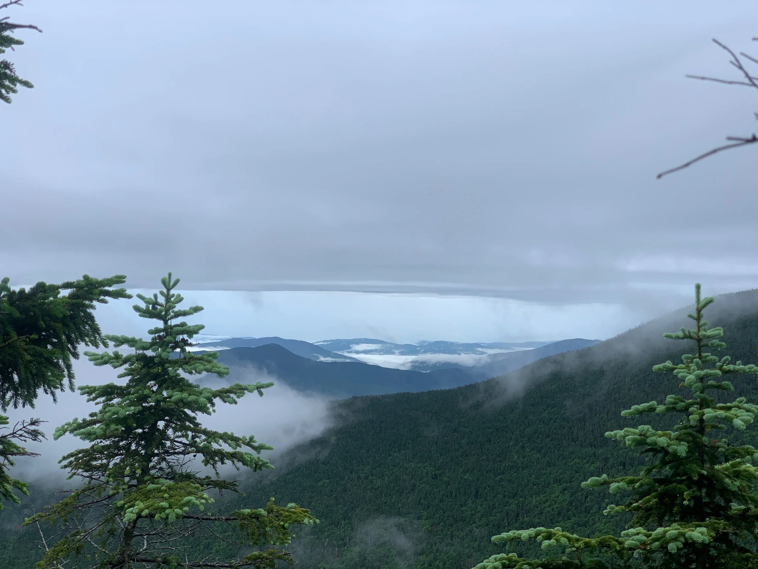
The weather was chilly and wet as clouds rushed past us, accumulating on every inch of our bodies so that water dripped from our hair, clothes, and packs. We didn’t get a view on top of Katahdin but that’s ok, it would have been unreal to get views on Franconia ridge, Mount Washington and Mount Katahdin.
With cell service on top of Katahdin for the first time in days we were able to check the forecast and see whether we needed to attempt to rush down the mountain to make it below tree line before any afternoon thunderstorms were to hit. The local man we met at Daicey pond had told us that from the top of Katahdin you could see any bad weather coming in from the west but we were so socked in by clouds that we wouldn’t have known what was coming our way except by the sound of thunder which is almost always too close to do anything about by the time it’s within earshot.


The handwritten weather forecast that had been posted at the kiosk near Abol Bridge at 7am the day before had warned of afternoon thunderstorms and was part of the reason we got such an early start up the mountain today. If something happens and you have to turn around because of bad weather the chances of getting a second shot at summitting are very slim, because while thruhikers have one week to summit from when the summit permit is issued, they only get one night at the Birches and don’t get to spend another night in the park. Shuttles to Millinocket are very costly and difficult to arrange because of the lack of cell service in the park. All this to say, we felt we absolutely must summit today, and were mentally prepared to do so under just about any conditions. The question was how to safely get back down.

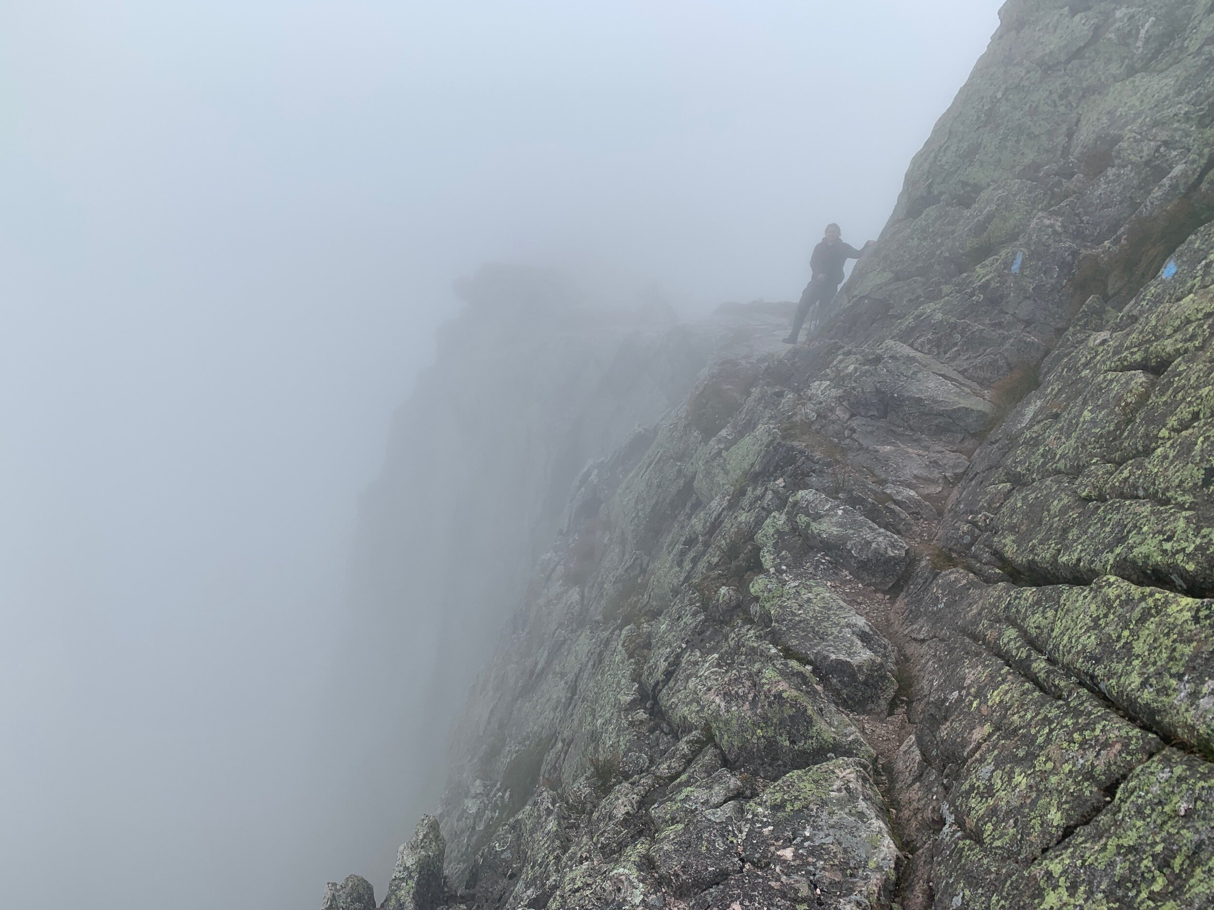
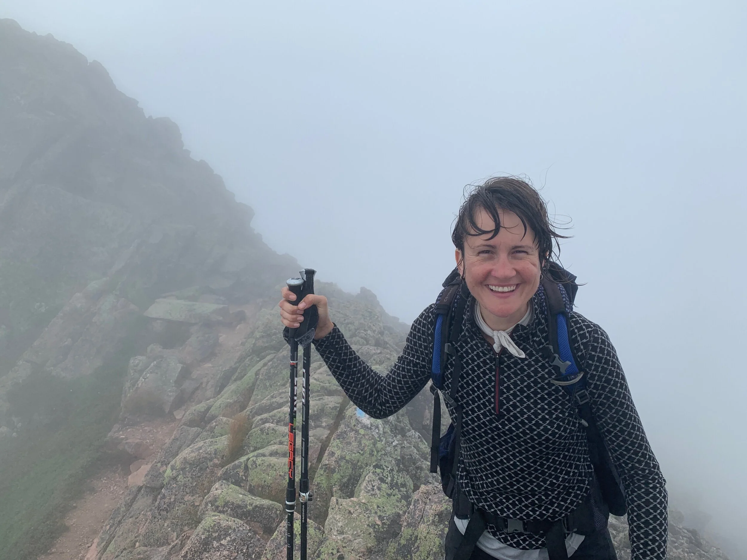
Ranger was determined to take the Knifes Edge down because he didn’t get the chance to take it down the first time, in 2005. His hard stance was that the Amicalola Falls Approach Trail is the classic way to start a thruhike and the Knifes Edge is the classic way to end it. Since the weather seemed to be mostly cooperating and chances of thunderstorms had cleared, we decided to do the Knifes Edge.


It was an incredibly rugged connector trail over a ridge line between the Katahdin and Pamola peaks that spanned only 1.1 miles but took us over two hours to complete. We inched along at a snail’s pace over the jagged and narrow ridge line in the fog and wind. Some sections were only a few feet wide and up to 2000ft drops on either side. There may have been more tears, but there were no regrets.

However challenging the Knifes Edge was, we agreed that completing the AT left us feeling like a weight had been lifted and we laughed at how carefree we felt on the remainder of our hike with a ride and shower and bed awaiting us at the end. I asked gleefully asked Ranger, is this what dayhikers feel like?!

Ranger descending “The Chimney”
Ranger climbing Pamola
When we began to transition back into tree line, we picked a half litre of wild blueberries for Ranger’s parents on our way down the Helon Taylor trail to Roaring Brook Campground where they would be waiting for us.


To keep spirits high and stave off any melancholy over our thruhike coming to an end, Ranger poetically rattled off all the things that would be a positive change once we’re off trail:
Soon we’ll be in a world… where we won’t have to ask if the bed has sheets.
Soon we’ll be in a world… where you don’t count the days by how many “sides” of your underwear you’ve worn since laundry day.
Soon we’ll be in a world… where we don’t manually filter our water for drinking or cooking.
Soon we’ll be in a world… where you don’t have to inflate your bed with your mouth every night.
Soon we’ll be in a world… where the toilet flushes.
Soon we’ll be in a world… where we don’t share a single fork.
And on and on…
When we finally emerged from the forest, Ranger’s parents were there waiting for us. We checked in at the Ranger Station to log our trail completion details, just as we had done yesterday evening in an interview with a Park Ranger detailing our hiking plans. They had asked about everything from departure time, to which trail we’re taking up, which trail down, and details for how we planned to exit the park.

We put all our gear in a trash bag so it wouldn’t stink up the car and drove an hour and a half back to Katahdin Streams Campground where we retrieved the gear we had left in the lean-to by the Ranger Station.
Ranger’s mom and dad had brought us snacks for the car ride and his mom had designed us custom travel mugs memorializing our thruhikes! On our way through Bangor, Maine, we stopped at a ramen bar for dinner and laughed when we realized we had accidentally chosen a gourmet version of trail food for our first meal off trail. It is good to be reunited with family and we are looking forward to some serious rest and recovery over the coming weeks.
Thanks for following along!